One desktop application for survey points, terrain models, alignments, parcels, point clouds and coordinate transformations — with CAD (DWG, DXF, LandXML) and GIS (Shapefile, GeoJSON, KML) interoperability and live web-map basemaps.
v1.0.1.518 · Windows · macOS · Linux · free to evaluate · 168-page manual & tutorials included
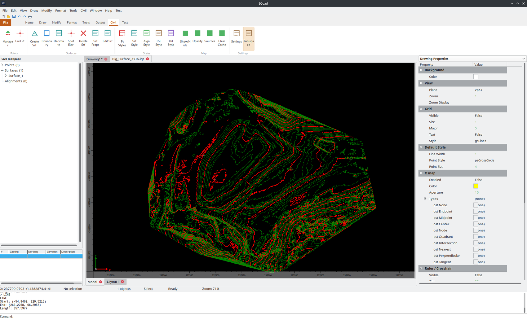
IQcad — TIN surface with contours and survey points, Civil Toolspace and Object Inspector
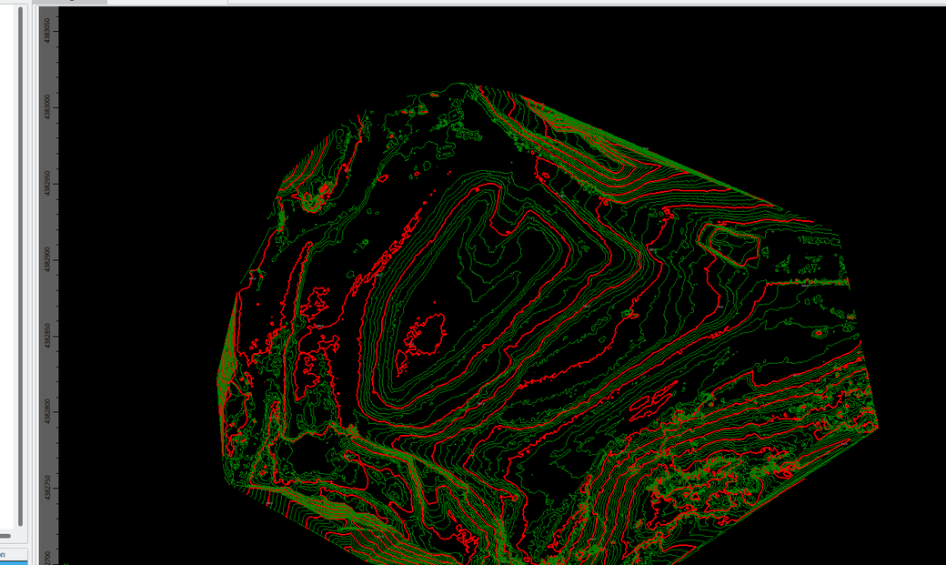
TIN surface — contours, breaklines and survey points in IQcad
Import field data, triangulate it into a TIN surface, and shape it directly — the terrain you design against is the terrain you measured.
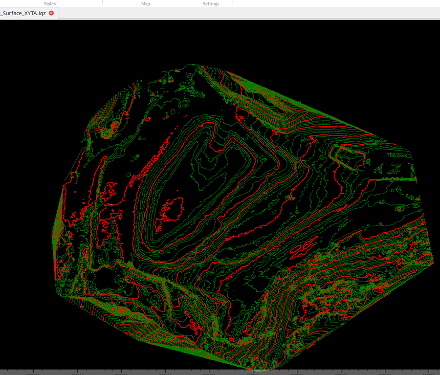
Dense civil data in IQcad — surfaces, contours and survey detail
IQcad's flagship pipeline: load the scan, cut a cross-section along the alignment, and turn it into an over/under-break report — with every method named, so the output stands up in review.
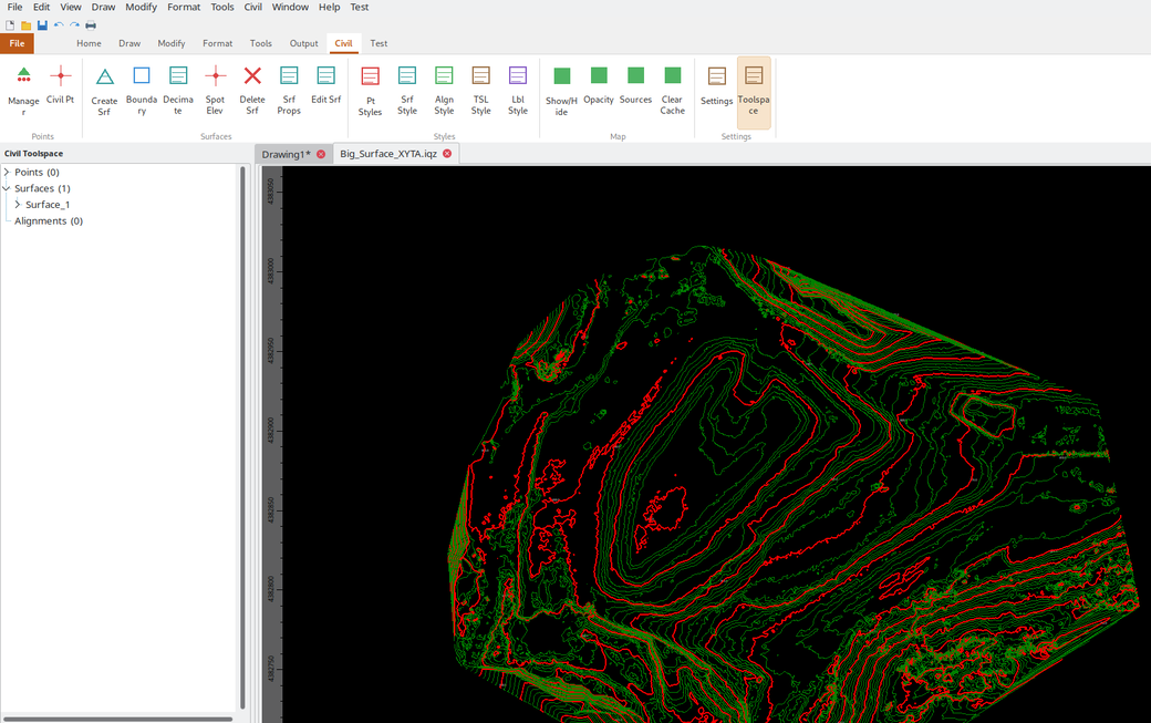
Civil ribbon, Civil Toolspace and a live drawing in IQcad
A complete CAD core sits under the civil tools: the command line, snaps and grips your team already knows, with web-map context behind the drawing and the layout pipeline to finish the sheet.
Dedicated editors for surfaces, alignments, points, dimensions and more — this is a complete product, not a prototype.
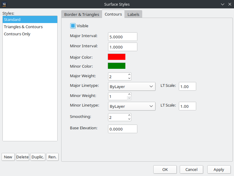
Surface style editor
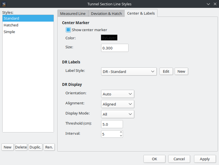
Alignment style editor
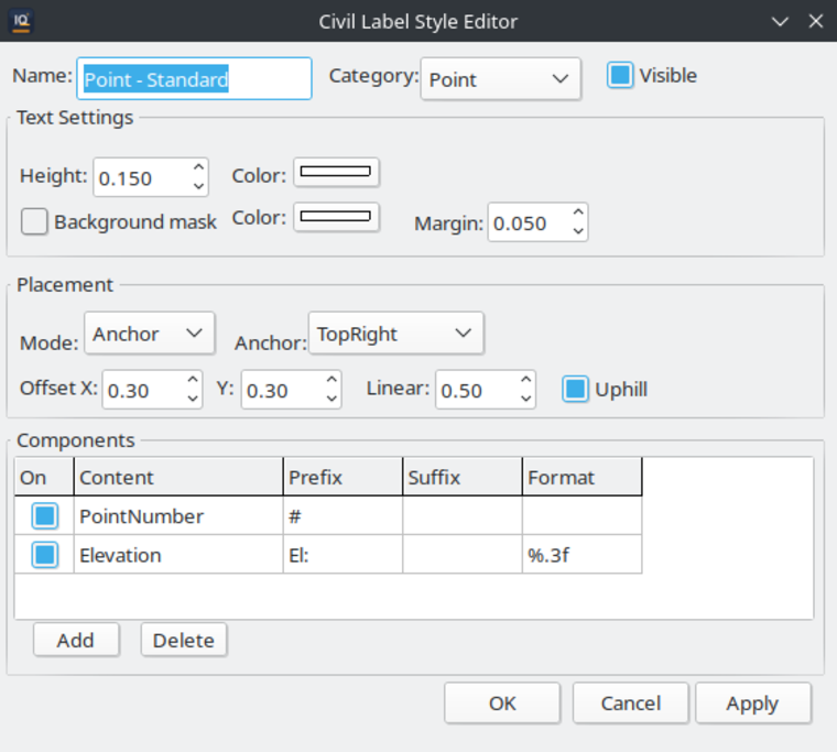
Multiline style editor
CSV import, style-driven markers and labels, groups, locking, renumbering and transforms.
Delaunay triangulation, breaklines, contours, spot elevations, boundaries and editing.
Hundreds of millions of points via octree LOD — LAS, LAZ, E57, PLY, PTS — with colour modes and clipping.
Tangents, curves and clothoid spirals from PIs, with a horizontal + vertical Alignment Editor.
Profile views, cross-sections, cut/fill shading and average-end-area earthwork.
Closed-boundary parcels with auto area & perimeter, bearing/distance labels and user data.
Measured vs. theoretical sections, over/under-break hatch and TSOPTIMIZE fit.
Helmert, Affine, Polynomial and TPS rubber-sheet, with residuals and reports.
25+ entity types, modify tools, blocks, dimensions, tables and multileaders.
Paper-space viewports, scale bars, north arrows, CTB plot styles and PDF export.
Shapefile, GeoJSON and KML/KMZ with a CRS picker, plus live XYZ/WMS web basemaps.
DWG, DXF, LandXML, SVG, PDF and native streaming IQZ/IQML for large drawings.
The questions every reviewer asked, answered plainly.
No black boxes — the algorithms are documented so you can check them against your own work.
Standard formats in and out. If you ever move on, your projects move with you. DWG runs through LibreDWG / ODA File Converter.
A 168-page manual and four step-by-step tutorials ship with every build.
Download it, open your own DWG, run a real transform. No account, no sales call.
The user profiles IQcad is designed for — illustrative profiles, not customer testimonials.
Imports GNSS points, runs a Helmert transform onto existing control, and delivers a residual report and a clean DWG — without a per-seat subscription eating the job margin.
Profile · solo survey practiceGets the part of Civil 3D actually used — Delaunay surfaces, clothoid alignments, average-end-area volumes — plus a clean LandXML hand-off to the contractor.
Profile · infrastructure consultancyTreats deviation as a real object with a named fit algorithm, so an over-break dispute is settled with residuals and a colour-coded area — not assertions.
Profile · heavy-civil / tunnellingKeeps the aliases, OSNAP and grips already in muscle memory; layouts plot to PDF on the first try. The tool doesn't fight your hands.
Profile · drafting roomPuts the whole team on one predictable license instead of rationing full seats — and DWG/LandXML export means no client lock-in.
Profile · survey & civil practiceBuilds a real TIN surface and a spiral-transition alignment in an afternoon from the built-in tutorials, then exports to DWG for a portfolio.
Profile · surveying & civil engineering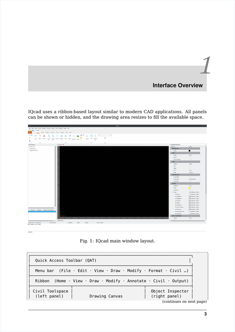
The interface, every civil tool, a full command reference, four step-by-step tutorials and a program-defaults reference. It ships with the build, and you can read the whole thing on this page.
Free to evaluate, with the 168-page manual and four tutorials included. No account required.
Hosted on SourceForge · or browse all releases & files
 IQcad
IQcad